Coastal Management Tools
- Belgian Coastal Explorer
The existing Belgian Coastal Atlas was updated, expanded and upgraded to a Coastal Explorer, an interactive and dynamic tool with over 200 layers.
- Leaflet on the Belgian Coastal Explorer (only available in Dutch)
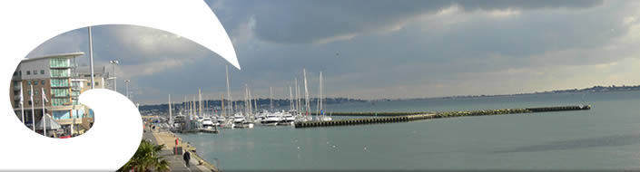
- Coastal Explorer Planning for Dorset
Over 270 GIS data sets have been collected for the Coastal Explorer Planning tool.
Dorset Coastal Explorer Planning is an innovative planning tool, providing information on existing policies, ecology, current uses and land/seascape features to professional planners, developers and other key stakeholders to inform planning and decision-making in the coastal zone. - Indicators
The Belgian coastal indicators have been reviewed and integrated in the Coastal Explorer website. Each indicator measures a typical aspect of the coast. [link]
The Dorset coastal indicators are integrated in the Coastal Explorer Planning Tool.

