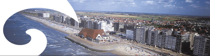
Coastal Atlas
The Coastal Atlas Flanders / Belgium was launched in 2005.
It was developed in the frame of the reporting to the European Commission for the ICZM Recommendation.
The Coastal Atlas provides an overview of the Belgian coast.
At the moment it is mainly a static communication tool for a broad audience.
Within C-SCOPE the Coastal Atlas will be updated, expanded and upgraded to Coastal Explorer,
an interactive and dynamic planning and mapping tool that will support decision-making on the Belgian coast.
Explore the existing Coastal atlas on www.kustatlas.be.
Article on de Belgian Coastal Atlas published in “Journal of Coastal Conservation”
Chapter about the Coastal Atlas Flanders / Belgium in “Coastal Informatics: Web Atlas Design & Implementation”

